The Wellington region experienced a significant early morning earthquake on May 3, 2026, when a magnitude 4 quake struck at 3:15 AM. Located just 10 kilometres northwest of Porirua, the tremor registered at a depth of 22 kilometres and was felt widely across the area.
GeoNet reported that more than 2,000 residents submitted ‘felt it’ reports. Some even noted sensations as far away as the top of the South Island. The epicentre was in the sea near Mana Island, a reminder of the region’s ongoing seismic activity.
Later that same day, at 9:19 AM, a second earthquake rattled the area. This one measured a magnitude of 5.2 and was located 25 kilometres west of Te Araroa at a depth of 32 kilometres. Nearly 800 individuals reported feeling this second tremor to GeoNet.
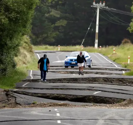
The frequency and intensity of these quakes highlight the Wellington region’s vulnerability to seismic events. Residents here are all too familiar with such occurrences, as this area has seen multiple noticeable earthquakes over the years.
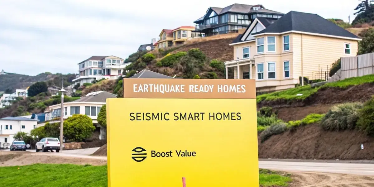
As local communities assess any potential damage and safety concerns, officials continue to monitor seismic activity closely. While no major injuries or structural damages have been reported yet, the situation remains fluid as authorities gather further information.